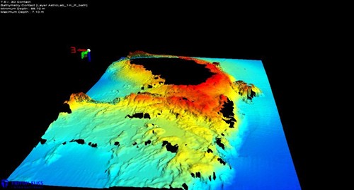
RENA 3D Map of Astrolabe Reef 16

. Credit:
Bay of Plenty Regional Council
This is a 3D graphic interpretation of the Astrolabe Reef in the Bay of Plenty. The colours indicate the water depth.
Please note the black patches in the image are where a depth could not be depicted. This is where the reef sits above the water level at low tide.