Taranaki plants itself on world stage

The international scale of Taranaki's streamside fencing and planting programme has been highlighted with a global award for the smart use of technology to back the project.
The award, made at the Geospatial World Forum in Hyderabad, India, last month, recognises the role of computer-based Geographical Information Systems (GIS) in the Council's riparian (streamside) management programme on the Taranaki ringplain.
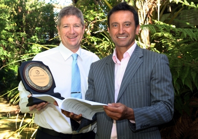
"There were 173 nominations for the Excellence Award for Land and Resource Management, so we're honoured and delighted to have won it," says the Council Chairman, David MacLeod. "It's come hard on the heels of last year's NZ Resource Management Law Association award for the overall riparian project, and it again shows how Taranaki punches above its weight in resource management as well as a lot of other endeavours."
The Council has developed GIS tools to help its staff prepare riparian protection plans for farms on the ringplain as part of the ambitious programme to have every waterway fenced and planted to prevent stock fouling waterways and to filter pasture run-off.
Mr MacLeod says the GIS tools have been critical in allowing Council officers to prepare a large number of riparian protection plans in a relatively short time, and the award recognises this practical and beneficial application of the technology.
"It's a highly efficient way to get plans quickly into the hands of farmers, giving them precise information on when and where to fence and plant, and what to plant," he says.
"We've prepared plans for nearly all dairy farms on the ringplain, at no cost to land owners, and now the emphasis is firmly on implementing the plans. So far, nearly 70% of streambanks are fenced and nearly 60% are protected with vegetation."
Counting pre-existing fences and vegetation, a distance greater than the length of the New Zealand coastline will be protected by the time the project ends, with millions of native plants dug into the ground and thousands of kilometres of fencing erected.
The Council also bulk orders native plants for the project and supplies them at cost to land owners, and co-ordinates contractors if farmers opt not to do the physical work themselves.
"The programme is voluntary and has had good buy-in from land owners," says Mr MacLeod. "Environmental benefits are already flowing from it, but it's great to see this massive effort recognised with an international award."
Around 2,500 people from 76 countries attended the Geospatial World Forum in Hyderabad. The award was accepted by th