Satellite Imagery Shows Worst Drought In North Island History Man-Made

Stuff.co.nz published: 'North Island drought worst in history' (10/3/13) which states "Long, dry spells are forecast to double by 2040" and experts warn it could spell the end for farming as we know it. But why? What has changed so dramatically? The answer is that the weather is being manipulated to the detriment of this country and its people.
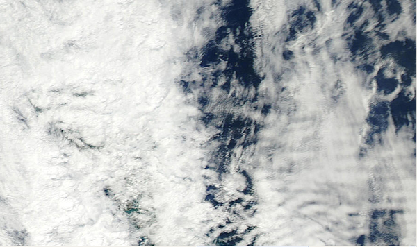
Many anomalies can be observed in satellite imagery of New Zealand and adjacent areas for January 1st to March 9, 2013. This video shows a small portion of what can be seen and includes circular cloud formations, holes in clouds and aerosol trails, otherwise known as "chemtrails." Look through a few images at least to get an idea of the magnitude of the weather tampering going on. The satellite imagery is at: http://rapidfire.sci.gsfc.nasa.gov/imagery/subsets/?subset=NewZealand.2013001.aqua.500m.jpg. The last three digits of the number “2013001″, relate to the day of the year, thus “001″ is the 1st of January, 2013. Look at imagery for the following days, as they include blatantly unnatural cloud formations and or chemtrails/aerosols: Jan 2, 4, 6, 10, 16, 30 and Feb 2, 3, 4, 6, 7, 10, 11, 12, 13, 14, 15, 17, 21 and 22.
Watch video at link here: http://youtu.be/VGJjGOiix7M
Related:
Watch: Why In The World Are They Spraying? at YouTube to learn more.
Don’t Think The US Military Is Concerned With The Climate? Think Again