Canterbury Researchers Map 140,000 Landslides for Future Weather Event Models


Researchers and students at the University of Canterbury have mapped over 140,000 landslides triggered by Cyclone Gabrielle in an effort to create models for future weather events.
The project has resulted in one of the largest single-event inventories of landslides globally.
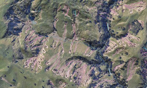
Lead researcher Dr. Tom Robinson said the team was surprised by the sheer number of landslides, with over 2,000 in just a 12 square kilometer area in the Esk Valley alone.
Mapping these landslides is critical for future resilience, as it helps determine the conditions that triggered them in the past, such as slope type, land use, rainfall intensity, and earthquake activity.
While the team has mapped 20% of the area affected by Cyclone Gabrielle, Dr. Robinson estimates there are around 750-850,000 landslides in total.